Parched
Outback South Australia
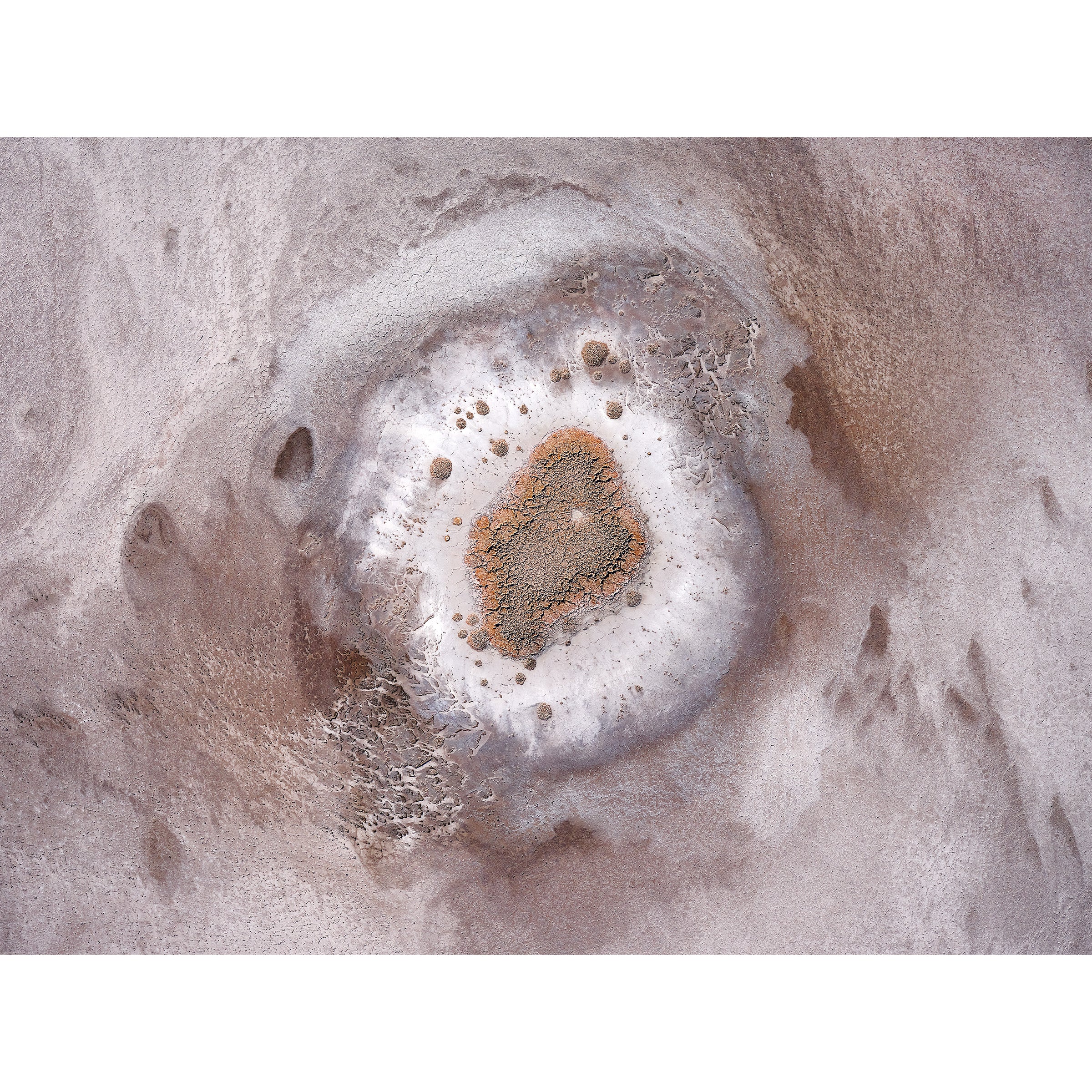
This series captures the intricate beauty of Kati Thanda-Lake Eyre and Munga-Thirri-Simpson Desert National Parks through aerial photography, marking my exhilarating introduction to this art form. From the abstract details of Kati Thanda-Lake Eyre to the expansive sand formations of Munga-Thirri-Simpson Desert, each flight was nothing short of extraordinary, igniting a passion that compelled me to plan my return before even leaving.
Kati Thanda-Lake Eyre boasts a vast catchment area spanning three states: New South Wales, Queensland, South Australia, and the Northern Territory, comprising two lakes—the north lake covering 8,430 square kilometers and sitting at 15.2 meters below sea level, making it Australia's lowest point. The south lake spans 1,260 square kilometers. Together, they form one of the world’s largest salt lakes, holding approximately 400 million tonnes of salt. Flood waters intermittently cover the lake roughly every eight years, though it has filled completely only three times in the last 160 years.
Located within Australia's driest region, Munga-Thirri-Simpson Desert National Park showcases the mesmerizing Erg desert, characterized by static parallel dunes running north-south, ranging from 3 to 40 meters in height. Encompassing 3.6 million hectares, it stands as Australia’s largest national park.
All artworks from this series are available for purchase as framed and acrylic prints, capturing the essence and grandeur of these isolated Australian landscapes.


